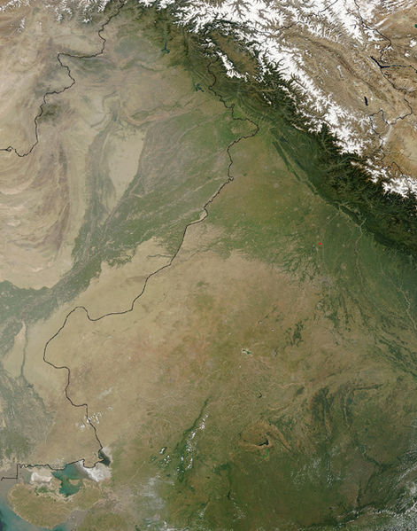
Файл:Thar Desert satellite.jpg

Размер на този преглед: 471 × 599 пиксела. Други разделителни способности: 189 × 240 пиксела | 500 × 636 пиксела.
Оригинален файл (500 × 636 пиксела, големина на файла: 329 КБ, MIME-тип: image/jpeg)
История на файла
Избирането на дата/час ще покаже как е изглеждал файлът към онзи момент.
| Дата/Час | Миникартинка | Размер | Потребител | Коментар | |
|---|---|---|---|---|---|
| текуща | 14:25, 17 септември 2005 |  | 500 × 636 (329 КБ) | Crux | Satellite Image of Thar Desert, India/Pakistan (border line in the middle) from en:, uploaded by en:User:Tom Radulovich |
Използване на файла
Следните 2 страници използват следния файл:
Глобално използване на файл
Този файл се използва от следните други уикита:
- Употреба в ar.wikipedia.org
- Употреба в az.wikipedia.org
- Употреба в bn.wikipedia.org
- Употреба в bs.wikipedia.org
- Употреба в ckb.wikipedia.org
- Употреба в de.wikipedia.org
- Употреба в en.wikipedia.org
- Употреба в eo.wikipedia.org
- Употреба в es.wikipedia.org
- Употреба в et.wikipedia.org
- Употреба в fa.wikipedia.org
- Употреба в fi.wikipedia.org
- Употреба в fr.wikipedia.org
- Употреба в he.wikipedia.org
- Употреба в hu.wikipedia.org
- Употреба в it.wikipedia.org
- Употреба в ja.wikipedia.org
- Употреба в ka.wikipedia.org
- Употреба в kk.wikipedia.org
- Употреба в kn.wikipedia.org
- Употреба в ko.wikipedia.org
- Употреба в ky.wikipedia.org
- Употреба в lfn.wikipedia.org
- Употреба в lt.wikipedia.org
- Употреба в mai.wikipedia.org
- Употреба в mg.wikipedia.org
- Употреба в mk.wikipedia.org
- Употреба в ml.wikipedia.org
- Употреба в mr.wikipedia.org
- Употреба в ms.wikipedia.org
- Употреба в ne.wikipedia.org
- Употреба в nn.wikipedia.org
- Употреба в pa.wikipedia.org
- Употреба в pl.wikipedia.org
- Употреба в pnb.wikipedia.org
- Употреба в pt.wikipedia.org
Преглед на глобалната употреба на файла.


